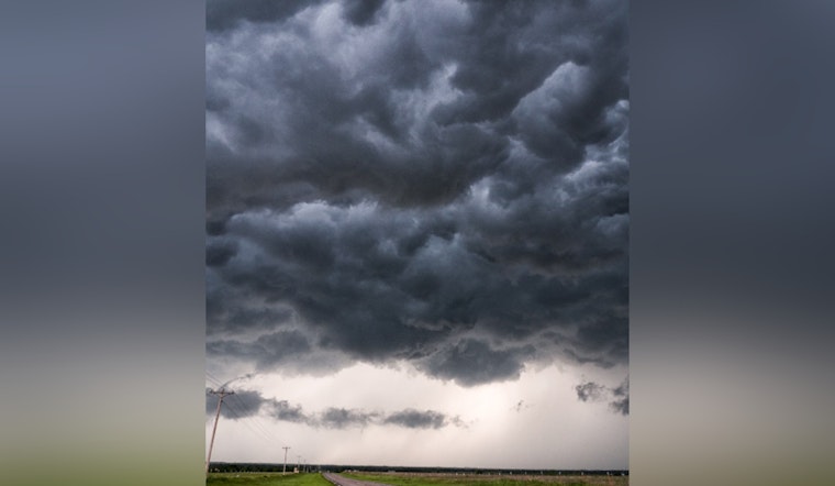
Residents and travelers in Sacramento and the Northern California region are bracing for a string of weather systems set to bring a variety of conditions this coming week. The
National Weather Service in Sacramento
has issued a forecast that includes rain, mountain snow, and potential thunderstorms starting Monday, with another system following later in the week.
Commencing early Monday, the fast-moving front could limit precipitation totals, however, the NWS projections indicate, “a 45 to 90% probability of 0.5 inches or more of rain in the majority of the Valley” increasing northward from the northern San Joaquin Valley. Higher elevations will likely experience snowfall with a “45 to 90% probability of 4 inches or more” above 6000 ft. The
National Weather Service
warns of possible travel complications, particularly as Monday marks the end of a holiday weekend. A Winter Weather Advisory will be in force for certain regions above 6000 ft from Monday morning to midnight Tuesday.
Apart from precipitation, gusty conditions are on the forecast too. The valley could see winds gusting up to 30 mph, and Sierra elevations could face gusts up to 45 mph. The potential for thunderstorms lingers as well, with a “10 to 15% probability of isolated thunderstorms in the northern and central Sacramento Valley and northeast foothills on Monday in the afternoon and early evening,” according to the
National Weather Service.
Following Monday’s system, a brief respite is anticipated with “mostly dry and calm conditions” on Tuesday before the advent of the next weather system from Wednesday afternoon. Over the latter part of the week, precipitation is expected to intensify with a predicted “20 to 50% probability of an inch or more of rain in the Valley,” and snow levels beginning at 6000 to 6500 ft, then lowering to around 4500 to 5000 ft by Friday. Again, gusty winds could add an extra challenge during this period with gusts forecasted up to 35 to 40 mph over the Sierra, as reported by the
National Weather Service.
In terms of aviation, the
National Weather Service
advises “VFR conditions across interior Northern California over the next 24 hours.” Yet, the incoming system will bring potential MVFR/IFR conditions after 12Z Monday. The
National Weather Service
encourages the public to keep updated with the latest forecasts as these weather systems unfold.
Note: Thank you for visiting our website! We strive to keep you informed with the latest updates based on expected timelines, although please note that we are not affiliated with any official bodies. Our team is committed to ensuring accuracy and transparency in our reporting, verifying all information before publication. We aim to bring you reliable news, and if you have any questions or concerns about our content, feel free to reach out to us via email. We appreciate your trust and support!


Leave a Reply