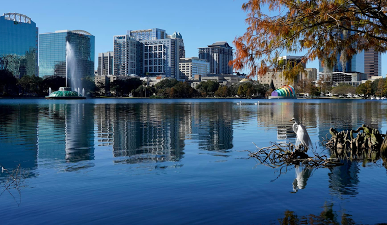
According to the National Weather Service Melbourne, FL, residents and visitors in Orlando can expect mostly dry conditions with isolated showers and gusty onshore winds through Thursday. The advisory, issued early Wednesday morning, warns of poor beach and boating conditions persisting at least through Thursday due to increased swells. It cautions that entering the surf is strongly discouraged due to the high risk of rip currents.
The
National Weather Service
‘s update also highlighted that “above normal temperatures will fall closer to normal” following a weak front passage on Thursday night into Friday. While the skies are expected to clear, the service predicts minor coastal flooding could result from high astronomical tides later this week. “A Coastal Flood Advisory will likely be needed along the entire east central Florida coast at some point late this week,” the service’s discussion noted.
For the aviation sector, VFR conditions are generally expected to continue today into tonight, with isolated showers potentially leading to brief MVFR conditions. However, rain chances remain relatively low, so flight disturbance should be minimal. Pilots should anticipate breezy conditions shortly after sunrise, with East/Northeast winds reaching 15-18 knots and gusts around 22-26 knots through the afternoon.
As Orlando residents navigate the windy and occasionally wet conditions, marine interests will contend with a Small Craft Advisory, currently in effect and set to continue in some areas until Thursday afternoon. While the advisory acknowledges primarily dry across the local waters, isolated onshore-moving showers aren’t ruled out. The front approaching Thursday night may mean another round of isolated showers ahead of stronger northerly winds and potentially turbulent seas reaching 6 to 10 feet by Saturday.
Looking ahead to the weekend, a surface high is expected to shift eastward across the region, maintaining dry conditions and mostly clear skies, with temperatures remaining in the low 80s. Astronomical tides predicted throughout the weekend could continue minor coastal flooding during morning high tide cycles. Furthermore, the National Hurricane Center pays attention to a weather disturbance dubbed AL99. It shows an 80% chance of development over the next few days, with its potential impact on Florida still unknown.
Note: Thank you for visiting our website! We strive to keep you informed with the latest updates based on expected timelines, although please note that we are not affiliated with any official bodies. Our team is committed to ensuring accuracy and transparency in our reporting, verifying all information before publication. We aim to bring you reliable news, and if you have any questions or concerns about our content, feel free to reach out to us via email. We appreciate your trust and support!


Leave a Reply