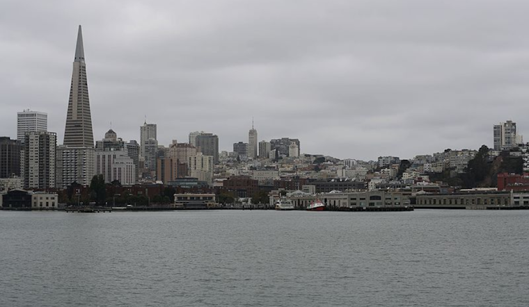
San Francisco residents should brace for a wet and blustery period this week, according to the National Weather Service San Francisco. The forecast predicts rain today through Friday, varying amounts depending on the region. The North Bay Coast Ranges could receive up to 0.50″ to 1″ of rainfall. At the same time, the Santa Cruz Mountains, North Bay Valleys, and Santa Lucia Range might see up to 0.25″. Other areas across the region are expected to get less, with precipitation totaling less than 0.20″.
Alongside the rainfall, a
National Weather Service’s High Surf Advisory
lasted until 6 am this morning due to a moderate northwest swell. Additionally, a Frost Advisory remained in place until 8 am this morning over the southern interior due to the cold air mass settling over the region. Commuters and those venturing early might have faced slick roads and frosty conditions.
The detailed weather situation described in the
National Weather Service’s Area Forecast Discussion
indicates that light precipitation started overnight across Northern California. This wet weather trend is set to continue through the evening, especially in the North Bay, where the highest amounts of rain are forecasted. Isolated thunderstorms are also possible, albeit expected to be short-lived and confined to coastal areas.
As the trough deepens tonight into tomorrow, colder air will usher in, with the potential for more isolated thunderstorms. Thus, chances of precipitation are widespread for tomorrow, yet amounts are still expected to remain minimal. The advisory also suggests frost or freeze warnings may be necessary over the coming weekend for locations like the southern Salinas Valley in Monterey County and into San Benito County owing to dropping temperatures and drier air.
Mariners are warned of rough seas that will persist throughout the week. Additionally, the forecast anticipates a return of a large swell on Thursday and Friday, linked to a storm-force low pressure in the Eastern Pacific. Beachgoers should be cautious as the High Surf Advisory continues through Saturday morning for significant breaking waves on northwest-facing beaches. King tides, expected to be higher than usual, combined with high surf conditions, could result in coastal flooding from Thursday to Sunday, particularly during late morning high tides on exposed ocean beaches.
Note: Thank you for visiting our website! We strive to keep you informed with the latest updates based on expected timelines, although please note that we are not affiliated with any official bodies. Our team is committed to ensuring accuracy and transparency in our reporting, verifying all information before publication. We aim to bring you reliable news, and if you have any questions or concerns about our content, feel free to reach out to us via email. We appreciate your trust and support!


Leave a Reply