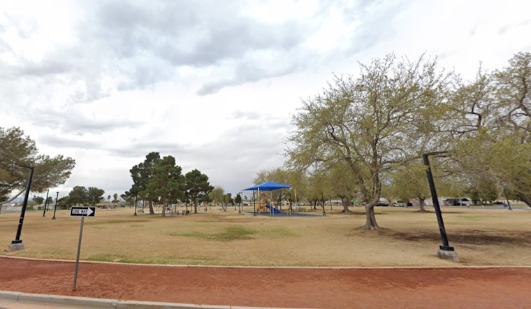
This weekend will be a weather roller coaster, so residents of Las Vegas should prepare. Although the region is expected to experience mostly dry weather and warming through tomorrow, a low pressure system from the Pacific Northwest coast is moving south, so things might change soon, according to the National Weather Service in Las Vegas, Nevada. Tonight and tomorrow, this trough will continue to bring moisture and much-needed high elevation snow to the Sierra.
Additionally, the prediction predicts that by tomorrow afternoon and tonight, winds will increase throughout the Mojave Desert. A Wind Advisory has been issued for the Spring Mountains-Red Rock Canyon, effective from 1 AM PST tomorrow to 4 AM PST Sunday, and for Southern Nye/western Clark County, beginning from 10 AM PST tomorrow to 4 AM PST Sunday, in anticipation of potentially dangerous circumstances. Dangerous crosswinds may be an issue for residents in the aforementioned areas, especially between Indian Springs and the intersection of State Route 160. According to the NWS, “downslope winds could impact the western Las Vegas Valley with gusts over 40 mph near the foothills.”
With the help of southwest winds, temperatures in desert regions are predicted to reach the mid-60s today and the lower 70s tomorrow. But this warm spell won’t last long since by Sunday, highs will drop back into the mid-60s and winds will significantly slow to 10 to 15 mph. The higher terrain of Clark/Lincoln and northern Mohave counties, where snow levels are expected to reach 6500–7000 feet, may see light precipitation when the trough passes by due to residual moisture that the Sierra was unable to capture.
The forecast discussion points to a cooling trend beginning Monday and potential precipitation increasing into Tuesday for the first part of next week. Nevertheless, time uncertainties for the anticipated trough are suggested by ensemble members from different weather models, including the ECMWF and GFS. This has an impact on predicted temperatures and the timing of precipitation; at the moment, forecasts point to higher chances of precipitation Monday morning through Tuesday afternoon before waning Tuesday evening. “Highest PoPs are in the Southern Great Basin, diminishing to the south with dismal PoPs in the Eastern Mojave Desert and Colorado River Valley,” according to the discussion.
The NWS predicts that surface winds at Harry Reid International Airport will be light and variable in the morning and turn easterly this afternoon at less than 10 knots, which is good news for aviation enthusiasts. In the evening, a change to a westerly direction is anticipated, and by tomorrow morning, there may be an increase in southerly winds. The rest of southern Nevada, northwest Arizona, and southeast California will see surface winds remaining under 10 knots today and tonight. Pilots operating in these areas should maintain vigilance, especially around mountainous regions where gusts may intensify.
The National Weather Service encourages spotters to stay alert and report any significant weather changes or impacts as they happen.
Note: Every piece of content is rigorously reviewed by our team of experienced writers and editors to ensure its accuracy. Our writers use credible sources and adhere to strict fact-checking protocols to verify all claims and data before publication. If an error is identified, we promptly correct it and strive for transparency in all updates, feel free to reach out to us via email. We appreciate your trust and support!


Leave a Reply