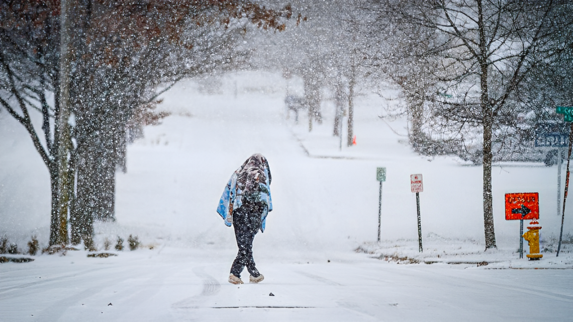
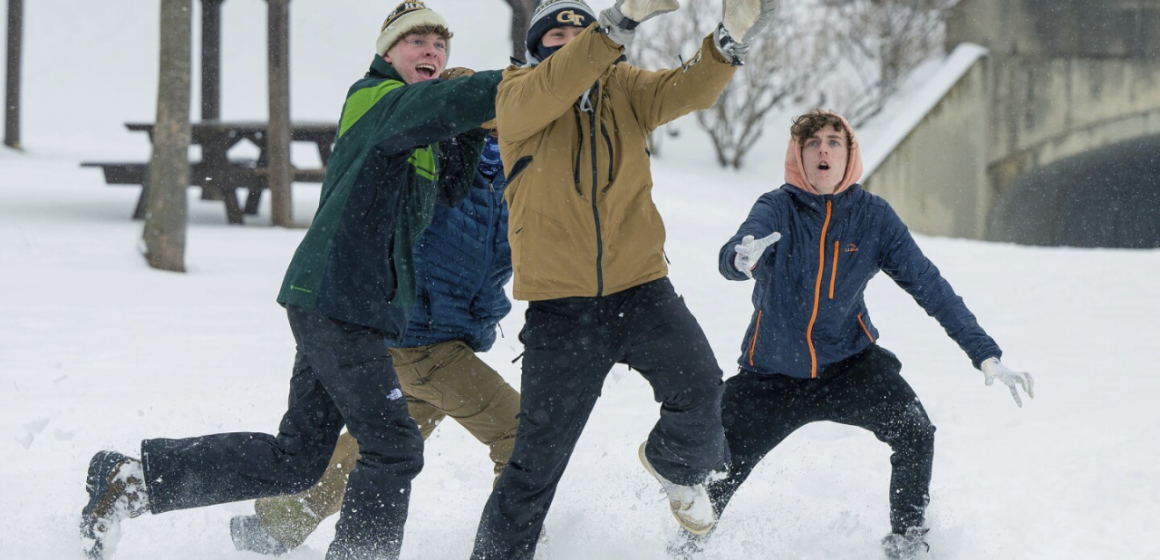
Southeast Michigan residents should prepare for more winter weather as two snow systems are expected to move through the area this week.
With colder air arriving, the region will see light snowfall midweek, followed by lake-effect snow and a freezing weekend.
First Round of Snow: Wednesday Morning
The first snow system will arrive on Wednesday morning around 9 a.m.. This system is expected to bring light snow showers, which will result in low accumulations.
Most areas will see about an inch or less of snow by the time the system moves out later in the day.
Temperatures on Wednesday morning will start at or just below freezing, which may lead to wet and slushy snow.
As the day continues, temperatures will rise slightly above freezing, which could cause some of the snow to melt quickly. This means that while accumulations will be low, the snow may still cause slippery roads and slushy conditions during the morning commute.
Drivers should be prepared for minor delays and plan extra time to navigate slick roadways.
Second Round of Snow: Thursday Night into Friday
The next system will bring lake effect snow starting late Thursday into Friday. Lake effect snow occurs when cold air passes over the warmer waters of the Great Lakes, creating narrow bands of snowfall.
This system is expected to deliver one to two inches of snow, but some areas may experience higher accumulations depending on location.
Lake effect snow can be heavier in spots closer to the lakeshore, leading to localized snow bursts and reduced visibility.
Road conditions on Thursday night and Friday morning may become slippery, especially during overnight and early morning hours. Commuters are advised to use extra caution while traveling.
Weekend Weather: Dry but Very Cold
After the snow clears out, Southeast Michigan will experience a dry but bitterly cold weekend. The real concern will be the plunging temperatures, which will make it feel even colder outdoors.
- Morning lows on both Saturday and Sunday will drop to the teens and single digits.
- Daytime highs are expected to only reach the low 20s.
With wind chills factored in, temperatures could feel even colder. Residents are urged to dress in layers, cover exposed skin, and limit time outside during the coldest parts of the day.
What to Expect This Week?

Here’s a quick summary of the weather forecast for Southeast Michigan:
- Wednesday: Light snow showers with about an inch or less of accumulation. Slushy, wet conditions are possible.
- Thursday Night/Friday: Lake effect snow bringing one to two inches, with higher totals in localized spots.
- Saturday/Sunday: Dry but extremely cold. Morning lows in the single digits; highs in the low 20s.
How to Prepare for the Snow and Cold?
To stay safe and comfortable during this wintry week, follow these simple tips:
- Check Road Conditions: Keep an eye on weather updates and road reports before traveling. Allow extra time for commutes, especially during snow showers.
- Dress Warmly: Layer up with jackets, hats, scarves, and gloves to stay protected from the cold.
- Prepare Your Car: Ensure your vehicle is winter-ready with good tires, windshield wiper fluid, and a full tank of gas.
- Stay Safe on Sidewalks: Use salt or sand to reduce ice buildup on walkways.
- Limit Outdoor Time: In freezing weather, avoid prolonged exposure to cold air, especially for children and pets.
Why This Weather is Happening?
The current pattern is being driven by two separate systems. The first system, arriving Wednesday, will bring light snow due to a weaker weather front moving through the region. The second round of snow on Thursday night will be the result of cold air passing over the Great Lakes, creating lake effect snow.
By the weekend, a strong push of Arctic air will sweep into the area, leading to much colder temperatures. This cold snap will keep highs in the low 20s and lows in the teens or even single digits.
Note: Every piece of content is rigorously reviewed by our team of experienced writers and editors to ensure its accuracy. Our writers use credible sources and adhere to strict fact-checking protocols to verify all claims and data before publication. If an error is identified, we promptly correct it and strive for transparency in all updates, feel free to reach out to us via email. We appreciate your trust and support!


Leave a Reply