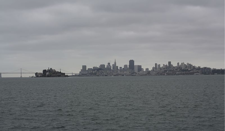
The San Francisco Bay Area is set for a notable shift in weather as we head into the Veterans Day holiday, with forecasts predicting increased rainfall and cooler temperatures across the region. According to the National Weather Service (NWS) San Francisco’s office, we can expect the appearance of rain Sunday night, which will persist throughout Monday. As the area braces for this change, it’s an apt time for residents to prepare for a wetter, potentially crisper week ahead.
In terms of rainfall expected on Veterans Day, the NWS detailed forecast anticipates up to 0.75 inches in the North Bay Coast Ranges, while areas such as the Santa Cruz Mountains, North Bay Valleys, and Santa Lucia Range are gearing up for as much as 0.50 inches. Meanwhile, other locations around the Bay Area should see less than 0.25 inches, “Rain returns to the region Sunday night and will continue throughout the day on Monday,”
reported the NWS
. This rain event ushers in a pattern shift toward cooler and more moist conditions than had been anticipated.
As we delve into the specifics of the forecast, the NWS San Francisco highlights the underlying atmospheric dynamics, noting a cold front moving southeast at roughly 20-30 mph, arriving in the area with a band of light to moderate rain for Veterans Day. Beyond Monday’s wetting rains, a series of Pacific disturbances are slated to reach the Bay Area through the middle of next week. “Nonetheless it’s good news from a fire weather perspective,”
NWS San Francisco’s synopsis
indicates in a statement regarding the rain’s beneficial impact on the dry conditions conducive to wildfires.
Travelers and commuters should be ready for potential disruptions: the aviation forecast predicts that MVFR/IFR/LIFR will replace VFR conditions as the front approaches Sunday night. “Mostly VFR across the terminals with the exceptions of KHAF where patchy LIFR conditions have developed,” the
NWS aviation update states
. The marine forecast also suggests that mariners will witness changing conditions, with significant wave heights expected to build starting Monday night and continue to increase amid the midweek’s weather patterns.
Note: Thank you for visiting our website! We strive to keep you informed with the latest updates based on expected timelines, although please note that we are not affiliated with any official bodies. Our team is committed to ensuring accuracy and transparency in our reporting, verifying all information before publication. We aim to bring you reliable news, and if you have any questions or concerns about our content, feel free to reach out to us via email. We appreciate your trust and support!


Leave a Reply