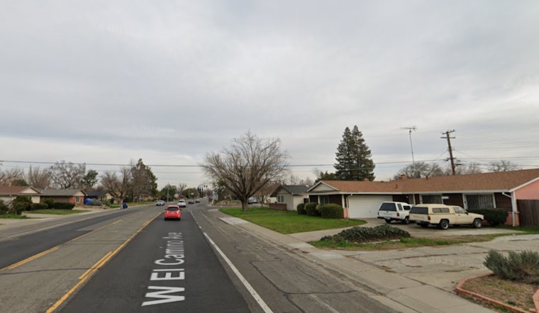
A new weather system is moving into interior Northern California, causing some changes to the Sacramento area’s weather, including light rain and possible mountain snow, the National Weather Service in Sacramento has reported. Travelers may face chilly conditions as this quick-moving system passes through, with cold temperatures and widespread frost predicted especially by Tuesday morning. According to the early forecast, the system will also bring breezy conditions over the Valley and gusty winds on the west side of the Sierra through early tomorrow this means locals should prepare for a brisk start to the week.
The light winds that have settled over the region have allowed temperatures to drop, according to theNWS, and have led to conditions mid to upper 30s in some areas, patchy frost is likely in some lower, more sheltered spots. As winds pick up this afternoon, Sacramento Valley residents may see a few hundredths of an inch of rain while the probabilities of precipitation exceeding 0.25″ in the mountains range from 40% to 60%, which if conditions line up just right, could bring some winter driving impacts including possible delays and chain controls; especially noteworthy since snowfall of 4 inches or more has a 50% to 75% chance of occurring above 6500 feet elevation.
Looking beyond today’s breeze and the snap of cold, the National Weather Service is pointing to the middle of the week as the next window for significant wet weather, primarily north of Interstate 80. According to their latest updates, a stronger system from the Gulf of Alaska is anticipated to push toward the region bringing more rain, and heavy mountain snowfall is likely with an “impressive moisture stream” that is projected to affect northwestern California. Intertwined with the weather pattern, there’s a significant chance of precipitation ranging from 40% to 85% making this an extended wet period that Sacramento hasn’t seen in quite some time.
Moving into the weekend, it seems the weather rollercoaster isn’t quite finished, as the area is gearing up for yet another system which could result in more widespread precipitation impacts. VFR conditions are expected for Interior Northern California over the next 24 hours, yet for those navigating the skies, it is essential to note that gusty south winds are forecast to pick up after 21z Sunday, as reported by the NWS with gusts reaching up to 20 MPH until early tomorrow morning before switching to northerly breezes that will continue to influence the area well into tomorrow. As always with variable weather conditions, whether driving or flying, planning ahead is key for residents and visitors alike.
Note: Thank you for visiting our website! We strive to keep you informed with the latest updates based on expected timelines, although please note that we are not affiliated with any official bodies. Our team is committed to ensuring accuracy and transparency in our reporting, verifying all information before publication. We aim to bring you reliable news, and if you have any questions or concerns about our content, feel free to reach out to us via email. We appreciate your trust and support!


Leave a Reply