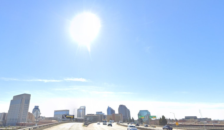
Batten down the hatches, Sacramento—critical fire weather conditions persist this morning, but relief is on its way, with a week of seasonable temperatures and pleasant days ahead. The
National Weather Service in Sacramento, CA,
announced that after a tense period of heightened fire danger, the region can expect a return to calmer weather.
As reported by the
NWS
, Sacramento residents saw clear skies this morning, and with lighter winds than yesterday, there’s an “expected to be more appreciable” overnight humidity recovery despite some areas in higher elevations experiencing lower numbers—in the mid 20s to mid 30s. However, the Red Flag Warning remained in effect until 7 AM PST due to continuing, if diminished, elevated to critical weather conditions. Meanwhile, temperatures took a dip with the Delta, Valley, and foothills hitting low to mid 40s, and 20s to 30s up in the higher elevations.
The outlook for the remainder of the week is influenced by the presence of ridging aloft, which is set to maintain current temperature levels and gentle, predictable winds. Daytime highs are expected to be comfortably in the 60s to low 70s for most regions, except the higher elevations, which may see 50s to 60s. Over the weekend, a weak shortwave might bring isolated showers to the northern Sacramento Valley and nearby areas, with chances of precipitation exceeding 0.1 inches being rather slim at 5% to 15%.
Looking towards next week, there’s a shift in the weather pattern as a Pacific frontal system moves through Monday into Tuesday, bringing with it widespread rain, mountain snow, and “some gusty wind,” according to the
National Weather Service
. The NWS adds that there is a slight chance of an afternoon or evening thunderstorm over the northern half of the Sacramento Valley on Monday. Mountain regions could see up to a foot of snow, while other areas may receive varied precipitation levels, from light sprinkles to around three-quarters of an inch. After the storm, drier conditions are expected to prevail over interior Northern California, with the next wave of precipitation expected to be less intense.
For those with wings, VFR conditions are projected to remain stable over the interior NorCal region in the next 24 hours. Surface wind conditions should remain navigable, staying below 12 knots except in the foothills and mountains, where gusts may reach up to 30 knots until 18z today. So while ground conditions start to ease, aviators in certain zones should remain vigilant for variable conditions.
Note: Thank you for visiting our website! We strive to keep you informed with the latest updates based on expected timelines, although please note that we are not affiliated with any official bodies. Our team is committed to ensuring accuracy and transparency in our reporting, verifying all information before publication. We aim to bring you reliable news, and if you have any questions or concerns about our content, feel free to reach out to us via email. We appreciate your trust and support!


Leave a Reply