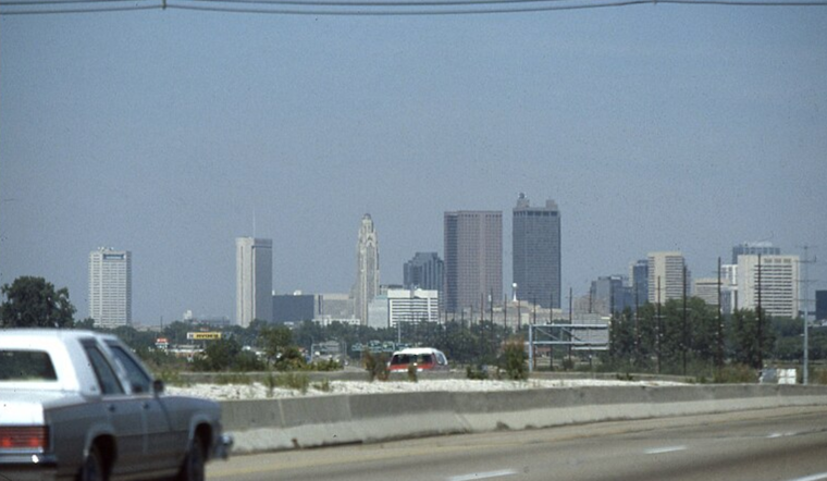
As confirmed by the National Weather Service, residents across the Columbus and Cincinnati areas can look forward to a tranquil weather pattern. In a statement by the
National Weather Service
, dry conditions and above-normal temperatures are expected to hold steady through Saturday, a respite welcomed by communities alongside the Great Lakes region.
The quiet spell, however, may not last into the week’s end as forecasts suggest changes on the horizon. “The next chance for rain will arrive Saturday night into Sunday as an area of low pressure tracks through the region,” the
National Weather Service
statement outlined, heralding a shift that may dampen spirits and ground alike. While some patchy, shallow fog was noted early Friday morning, it remained too fragmented to provoke widespread concern, although some areas nestled in valley pockets may be exceptions.
Today’s forecast promises plentiful sunshine, with temperatures expected to crest between the low and mid-60s by late afternoon due to light northerly surface flow. As nighttime falls, mostly clear skies are anticipated, with low temperatures dipping into the lower 40s in the Tri-State/Northern Kentucky area and the mid to upper 30s in central Ohio.
As the surface high pressure drifts east by Saturday, an easterly flow is likely to usher in additional dry air into the afternoon. Prefacing the inbound weather system, “Cloud cover will be on the increase Saturday ahead of the next weather-maker, which will begin to impact the ILN FA by Saturday night,” as the
National Weather Service
forecaster advised. Concurrently, a warm front lifting through the Ohio Valley will bring widespread rain and strong warm air advection, hinting at a moist and comparatively warmer Sunday.
In terms of aviation, the high pressure is anticipated to gift clear skies and minimal wind interruptions. Pilots can expect light winds from the north-northwest until 00z, afterward shifting to the northeast. The National Weather Service cautions that MVFR (Marginal Visual Flight Rules) conditions may develop Sunday into Monday, potentially disrupting flight operations.
Looking ahead, early next week might bring back the dry and cooler weather as high pressure tries to establish dominance in the region. This brief interlude of calm will likely be interrupted by midweek as predictions indicate yet another low-pressure system looms near the Great Lakes, setting the region’s residents up for another about with precipitation.
Note: Thank you for visiting our website! We strive to keep you informed with the latest updates based on expected timelines, although please note that we are not affiliated with any official bodies. Our team is committed to ensuring accuracy and transparency in our reporting, verifying all information before publication. We aim to bring you reliable news, and if you have any questions or concerns about our content, feel free to reach out to us via email. We appreciate your trust and support!


Leave a Reply