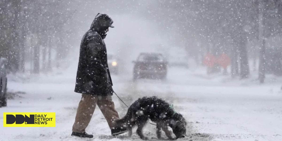
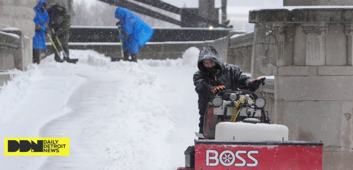
DDN – On Sunday, a blast of snow, ice, wind, and falling temperatures created treacherous travel conditions in parts of the central United States, with some locations facing the biggest snowfall in a decade.
Snow and ice covered key roads in almost all of Kansas, western Nebraska, and parts of Indiana, prompting the state’s National Guard to assist any vehicles who became stuck. At least 8 inches (20 cm) of snow were forecast, particularly north of Interstate 70, as the National Weather Service issued winter storm warnings for Kansas and Missouri, where blizzard conditions brought wind gusts of up to 45 mph (72 kph). The danger was extended to New Jersey through Monday and early Tuesday.
“For locations in this region that receive the highest snow totals, it may be the heaviest snowfall in at least a decade,” according to the weather agency.
Gary Wright wore a parka as he and his husband chipped away at a thick layer of ice on his SUV in a treacherous Missouri apartment parking lot on Sunday. Wright stated that he will work remotely for the University of Missouri-Columbia on Monday but wanted to scrape off his truck as an excuse to spend some time in the snow. He’s also looking for boots for their two older dogs, who “won’t budge at all” when their paws touch the frigid ground.
The polar vortex of extremely cold air typically revolves around the North Pole. When the vortex escapes and spreads south, it brings tremendous cold to people in the United States, Europe, and Asia.
According to studies, a rapidly warming Arctic is contributing to an increase in the frequency with which the polar vortex extends its icy grip.
The prediction predicts snow, ice, and possibly tornadoes.
In Indiana, snow completely covered areas of Interstate 64, Interstate 69, and U.S. Route 41, causing Indiana State Police to ask travelers to stay off the roads while plows worked to keep up with the precipitation.

“It’s snowing so hard, the snow plows go through and then within a half hour the roadways are completely covered again,” said to Sergeant Todd Ringle.
Parts of Kansas had received approximately 10 inches (25 centimeters) of snow, with snow and sleet totals expected to reach 14 inches (36 centimeters) in that state and northern Missouri.
In Kentucky, Louisville reported 7.7 inches (19.5 centimeters) of snow on Sunday, breaking the previous record of 3 inches (7.6 centimeters) established in 1910. Lexington, Kentucky, also established a snowfall record at 5 inches (12.7 centimeters).
A lake effect event that was projected to linger until late Sunday afternoon brought 3 feet (0.9 meters) or more of snow to parts of upstate New York.
The storm was anticipated to sweep across the Ohio Valley and the Mid-Atlantic states later Sunday and Monday, with strong freezes as far south as Florida.
Damaging winds toppled trees across the Deep South. On Sunday, the meteorological agency issued tornado warnings across Arkansas, Louisiana, and Mississippi.
Car crashes proliferate as storm hits.
Hundreds of car accidents were reported in Virginia, Indiana, Kansas, and Kentucky, including a state trooper who was hospitalized for non-life-threatening injuries after his patrol car was struck on Interstate 65. At least 600 motorists were stranded in Missouri, according to the state highway police.
Highways in northern Kansas have been closed due to “impassable” conditions, according to the state Transportation Department. The closures comprised approximately 220 miles (354 kilometers) of Interstate 70, which runs from the Missouri border to central Kansas.
Kentucky Gov. Andy Beshear, who issued a state of emergency ahead of the storm, announced that state buildings would be shuttered on Monday.
“We see way too many collisions out there for folks who don’t need to be on the road, so I’d like to ask: Stay inside. Stay careful with your family, the governor advised.
Virginia State Police reported at least 135 crashes as the storm moved into the state on Sunday. A few injuries were reported.
Authorities in Charleston, West Virginia, recommended motorists to stay at home after several inches of snow fell by Sunday night. The Kanawha County Sheriff’s Office reported that deputies were responding to wrecks and 911 calls around the county. “Please be patient if you contacted 911 for help. A deputy will call or reply to you as quickly as feasible,” according to a statement from the sheriff’s office.
Air and train transportation also jammed.
The storms wreaked havoc on the nation’s passenger railroads. More than 20 cancellations were scheduled for Sunday, 40 for Monday, and at least two for Tuesday.
“If local authorities are telling people not to travel, it’s counterintuitive to try to run a full slate of services when people are being told to stay home,” said Marc Magliari, an Amtrak spokesperson.
The Midwest was hammered particularly severely. Sunday’s cancellations included a train between Chicago and New York, as well as many regional trains between Chicago and St. Louis.
FlightAware, a flight tracking tool, said that around 200 flights into and out of St. Louis Lambert International Airport were canceled.
Temperatures drop, but no records broken.
Forecasters predict that the eastern two-thirds of the country will face dangerously low temperatures and wind chills beginning Monday. Temperatures may be 12 to 25 degrees (7 to 14 degrees Celsius) below normal.
On Sunday, temperatures in Chicago lingered in the teens (minus 7 to 10 Celsius), while Minneapolis was near zero, and International Falls, Minnesota, on the Canadian border, dropped to 11 below (-11.7 Celsius).
According to Jon Palmer, a meteorologist with the National Weather Service in Gray, Maine, the Northeastern states are more likely to face many days of cold after a relatively moderate start to the winter season. A surge of cold air from Canada is expected to bring a cold but dry week, he said.
Palmer predicted that the cold air will grip the eastern half of the country as far south as Georgia, with parts of the East Coast seeing freezing temperatures and lows in the single digits in some regions.
Wind may also pick up as the week progresses, creating potentially hazardous circumstances for individuals exposed to the outdoors for extended periods of time, Palmer added.
Disruptions extend southwards.
The National Weather Service projected 8 to 12 inches (approximately 20 to 30 centimeters) of snow in Annapolis, Maryland. Virginia Gov. Glenn Youngkin announced a state of emergency ahead of the storm and urged locals to vote in the state’s special elections on Tuesday.
Similar announcements were made in Kansas, Maryland, West Virginia, and central Illinois cities.
Classes were canceled.
School closures were expected to be widespread Monday. Districts in Indiana, Maryland, Virginia, and Kentucky had already announced cancellations and delays by Sunday afternoon.
Jefferson County Public Schools in Kentucky canceled classrooms, extracurricular activities, and athletics for over 100,000 pupils on Monday. The day would have been pupils’ first day back from winter break.
“This is a traditional snow day, with no online learning,” the district stated.
Reference: The heaviest snowfall in a decade is possible as a wintry blast roils parts of the US


Leave a Reply