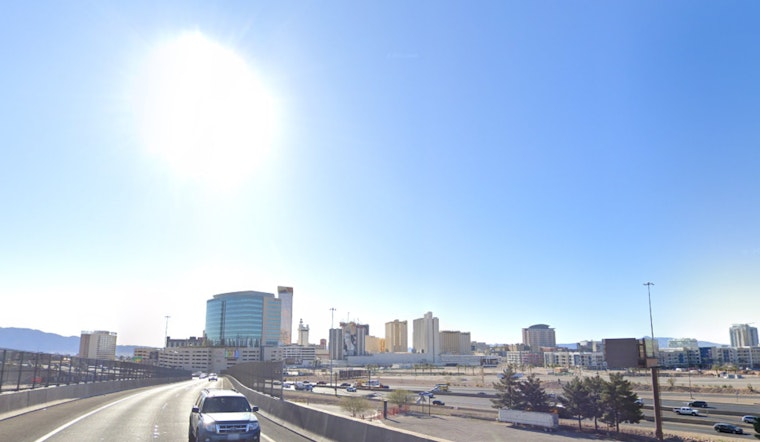
Las Vegas residents and visitors alike can expect to comfortably navigate a brief interlude of serene weather as the city balances on the cusp of meteorological shifts, according to the National Weather Service in Las Vegas. With a cold front having taken its leave overnight, cooler temperatures and residual north breezes will linger through the day. However, this is just a prelude to more impactful conditions expected later in the week and into the weekend. This upcoming system promises to bring even cooler temperatures, with the brunt of the precipitation targeting the southern Sierra and Owens Valley on Friday.
The forecast through tomorrow night presents a transient moment of calm in the Great Basin, quickly disrupted by the next trough advancing from the northwest. While Southern Nevada sits this dance out, the Tahoe Basin might see some light showers as early as tomorrow. There will be a short-lived weak ridge which will quickly move across the Great Basin tonight, as per the
National Weather Service in Las Vegas
. Trepidations about the week’s end are valid, as the trough set to arrive already promises to shake up the region’s weather with another cooldown and heightened wind activity.
Looking beyond the midweek lull, the latter part of the week and the weekend forecast remain a topic of discussion, with meteorologists expecting significant changes. Ensemble forecasts suggest a deep trough will impact the West Coast by the end of the week, potentially leading to a rise in temperatures and an increase in breezy conditions. Uncertainty remains about whether a cutoff low will develop, a possibility that could further influence cooling, winds, and precipitation. The main takeaway at this point is that the quieter weather of midweek will come to an end on Friday, as noted by the
National Weather Service
. Early predictions for the following week suggest the continuation of a progressive trough pattern, which could keep temperatures near or below normal while bringing additional bouts of wind.
Aviation interests have been alerted to expect westward and northerly winds with gusts potentially reaching 30 knots through the early morning at Harry Reid, shifting to the north-northwest mid-morning. Visibility constraints down to 8SM due to blowing dust are also plausible until midmorning. In assurance to travelers and aviation operators, VFR conditions, featuring few to scattered high clouds, are projected to prevail. As always, spotters are encouraged to report any significant weather occurrences or impacts, ensuring community preparedness and safety.
Note: Thank you for visiting our website! We strive to keep you informed with the latest updates based on expected timelines, although please note that we are not affiliated with any official bodies. Our team is committed to ensuring accuracy and transparency in our reporting, verifying all information before publication. We aim to bring you reliable news, and if you have any questions or concerns about our content, feel free to reach out to us via email. We appreciate your trust and support!


Leave a Reply