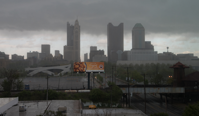
Residents across Ohio’s weather-beaten landscapes are bracing for a dance of precipitation and fluctuating temperatures as a cold front sweeps in to lay down a wet blanket statewide. According to the National Weather Service (NWS), showers will appear by mid-morning, setting the stage for a decidedly damp Wednesday.
Forecasters predict that all regions will witness the arriving showers as the day progresses, though southeastern counties might get a little extra attention. A low-pressure ripple will enhance lift and moisture convergence in these parts, potentially tipping the scales to an inch of rain by day’s end. Winds are expected to gust over 20 knots early to complicate matters further before subsiding. The National Weather Service anticipates temperatures will continue to hover above normal despite a cooldown from Tuesday’s record highs, with “forecast highs range from the upper 60s northwest up to the mid-70s southeast.”
The evening ushers in a minor respite as the weakened front dips south of the Ohio River. While the northern regions can look forward to dry weather, locations in the south may still need to keep an umbrella handy, with chances of showers lingering in the vicinity of the frontal remnants. Overnight temperatures are slated to stay warmer than usual, ranging from the mid-40s to mid-50s, and Thursday’s temperature is not to fall far behind, with highs expected in the “upper 50s to mid-60s.”
As the weekend approaches, a high-pressure system intends to hold court through Friday, keeping conditions dry and temperatures only a hair above average. But change is afoot; a warm front is forecast to sail over the region come Saturday night, closely tailed by a cold front set to cross late Sunday into Sunday night. Showers are likely to crop up as these fronts pass. “Temperatures will be warmer, especially nighttime lows,” the National Weather Service explains, sealing the deal on a weather pattern that refuses to settle. Even as Monday brings drier days courtesy of another high-pressure system, the forecast remains warm, with “temperatures about 10 degrees above normal for the early part of next week.”
Lastly, for those taking to the skies, keep an eye on the front, as its associated conditions are causing fluctuations in visibility and winds that could disrupt travel. The National Weather Service states, “Front over ILN area will be east of TAF sites by late this morning, with showers ending.” However, with saturation being a likely prospect, MVFR and IFR conditions could persist across the aviation spectrum into the latter part of the forecast period. Pilots navigating these tempestuous skies should stay abreast of the ever-shifting weather narrative and plan accordingly.
Note: Thank you for visiting our website! We strive to keep you informed with the latest updates based on expected timelines, although please note that we are not affiliated with any official bodies. Our team is committed to ensuring accuracy and transparency in our reporting, verifying all information before publication. We aim to bring you reliable news, and if you have any questions or concerns about our content, feel free to reach out to us via email. We appreciate your trust and support!


Leave a Reply