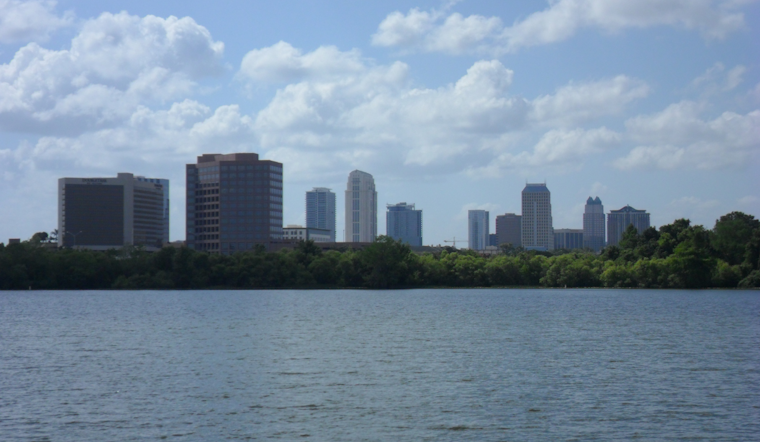
Residents and visitors in Orlando are advised to exercise caution as “dangerous surf and poor to hazardous boating conditions continue today and into this weekend.” According to the
National Weather Service
Melbourne, FL, the agency has emphasized the high risk of rip currents and has advised people to stay out of the ocean to avoid these dangers.
The weather outlook, detailed in an early morning discussion by the National Weather Service, also forecasts minor to potentially moderate coastal flooding. It’s expected to worsen during the morning high tides through the weekend, particularly on Saturday morning’s high tide. A Coastal Flood Advisory continues through Saturday evening and will likely be extended through Sunday. With a weak cold front passing through, isolated showers are possible, but the chances remain low at around 20 percent, mainly during the morning to early afternoon. As the front moves southward, precipitation is expected to cease. Northerly winds are bringing cooler, more seasonable temperatures in most regions’ mid to upper 70s.
Dry conditions will prevail into the weekend as high pressure establishes itself across the region. Winds will remain out of the N/NE on Saturday and gradually veer onshore, leading to a gradual warming trend. The mercury is predicted to hover around the upper 70s to low 80s come Monday. Coastal flooding concerns persist, especially with the Saturday morning high tide expected to be the peak for potential impacts due to the combination of building seas and elevated N/NE flow.
As of the latest, the marine forecast indicates poor to hazardous boating conditions with a Small Craft Advisory in effect for certain offshore waters. This is expected to expand to nearshore waters of Brevard County and the Treasure Coast by this evening. Northerly winds are intensifying, and seas are projected to build 6 to 8 feet offshore. For aviators, the TAFs that start with MVFR CIGs at KMLB and further north are expected to improve to VFR as the day goes on, and for those on the ground, the weather service has caused to bundle up as more relaxed air filters in behind the front, bringing temperatures down to more typical mid to upper 50s inland, with 60s along the coast.
Meanwhile, Tropical Storm Sara’s progress is being closely monitored as it approaches landfall in Belize. It is expected to dissipate over the Yucatan Peninsula late in the weekend. Attention then turns to the remnants of Sara, which could bring increased moisture and potential for heavy rainfall to Florida mid-week. This could be followed by a strong cold front poised to introduce much cooler conditions late next week.
Note: Thank you for visiting our website! We strive to keep you informed with the latest updates based on expected timelines, although please note that we are not affiliated with any official bodies. Our team is committed to ensuring accuracy and transparency in our reporting, verifying all information before publication. We aim to bring you reliable news, and if you have any questions or concerns about our content, feel free to reach out to us via email. We appreciate your trust and support!


Leave a Reply