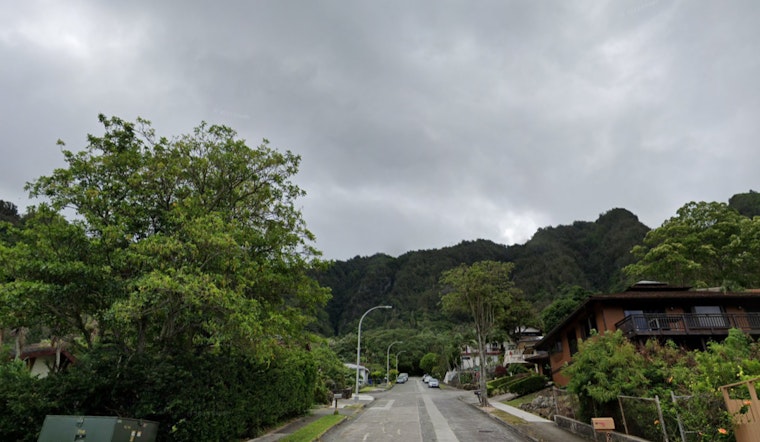
The National Weather Service (NWS) has warned that Honolulu residents could anticipate more showers as a weak front moves over the state, hitting mostly the western portion from this afternoon through tomorrow. Maui should prepare for the effects of the front later in the day before it dissipates, while Kauai and Oahu are the regions most likely to see rainfall, according to the NWS prediction.
While the upcoming band of low clouds and embedded showers may make its way to Kauai by this afternoon and Oahu tonight, according to the NWS forecast discussion, no substantial rainfall is anticipated; instead, the upcoming week will be dominated by light winds and primarily dry weather following the front’s passage. When the weather system dissipates, worries about rainfall seem to be minimal, at best windward, and nonexistent leeward. After the front, a “gentle to moderate north to northeast trade wind flow” is predicted, which could give way to hybrid land and sea breezes in protected locations.
According to the NWS, light variable winds are anticipated to enable the formation of both land and sea breezes throughout the majority of the Hawaiian island chain, with VFR conditions most likely to prevail. However, the impending front may cause Kauai to experience brief MVFR conditions. An AIRMET Tango has been issued for significant upper-level turbulence that is hitting smaller islands and may expand to the Big Island later today. Meanwhile, an AIRMET Sierra is still in place for windward Big Island due to mountain obscuration.
The forecast predicts that a weak area of high pressure will bring light to moderate trade winds around midweek, but there is little confidence that this pattern will hold. By the end of the week, trade winds may decrease as a low passes to the north. For mariners, light and variable winds will continue as the weak front moves over Kauai waters, with sea breezes developing near coastlines. Despite the absence of any major south swells, a medium-period NW swell has caused a High Surf Advisory to remain in effect until early tomorrow for several coasts.
In terms of fire weather conditions, the NWS warns of persistently high KBDI values in leeward regions, with relative humidity potentially approaching the critical threshold. The forecast also notes that low breezes are likely to keep critical fire weather from developing. As we get into the latter portion of the weekend, the High Surf Advisory applies to the north-facing coastlines of Niihau, Kauai, Oahu, Molokai, and Maui as a precaution.
Note: Every piece of content is rigorously reviewed by our team of experienced writers and editors to ensure its accuracy. Our writers use credible sources and adhere to strict fact-checking protocols to verify all claims and data before publication. If an error is identified, we promptly correct it and strive for transparency in all updates, feel free to reach out to us via email. We appreciate your trust and support!


Leave a Reply