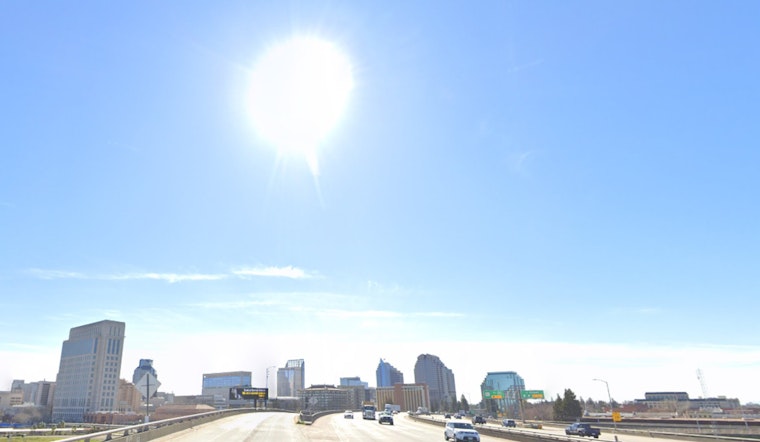
Sacramento residents can enjoy a brief respite from the wet weather today, but don’t pack away the rain gear just yet; another storm system is lining up to drench Northern California from tomorrow into the weekend. According to the
National Weather Service (NWS) Sacramento forecast
, today’s conditions are expected to be dry and seasonable, with Valley temperatures in the upper 50s to mid-60s and mid-30s to low-50s across mountain regions.
The incoming disturbance, which will start affecting the Coastal Range tomorrow morning, promises a substantial downpour with rain accumulation metrics, known as Quantitative Precipitation Forecast (QPF) totals, between 0.25-1.00 inches in the valley to a moist 0.50-2.00 inches in mountainous areas, with certain spots potentially receiving up to 2.50 inches; the first wave of the storm, between Wednesday and Thursday, is expected to be fiercer, presenting a 45-80% probability for greater than an inch of rain for Valley locales north of I-80 – chances that climb higher as you move up the Valley.
Alongside the rain, blustery conditions will sweep across Northern California, with forecasted gusts of 15-35 MPH, strongest in the northeastern foothills, the north-central Sacramento Valley, and along the Sierra peaks south of I-80, where gusts could reach 20-45 MPH, as reported by the
NWS
. Winds are expected to wane by tomorrow evening, though slightly breezy conditions may persist over elevated terrain. The storm also brings a threat of isolated thunderstorms on Thursday, with accompanying risks such as lightning, heavy rain showers, wind gusts, and small hail, serving as an important reminder: “If thunder roars, go indoors!”
Mountain snow is another factor in the mix, with snow levels initiating at 4500-5000 feet tomorrow, then rising and finally settling at 4000-4500 feet by Friday morning; amounts of 6 to 12 inches are forecasted with local areas receiving up to 18 to 24 inches above 5000 feet; there’s a 65-90% probability for more than 12 inches at elevations above 6000 feet; while chances for a full two feet of snow are set at 25-50% around higher terrain and near Lassen National Park. Rain will decrease in the Valley on Friday, but the Sierra and Southern Cascades can anticipate lingering snow showers into the evening. Another short, albeit active weather period awaits NorCal after the Saturday lull, with more rain and mountain snow on the horizon for Sunday.
The extended forecast indicates a brief period of calm on Sunday as an upper ridge moves through, followed by another atmospheric pulse on Sunday night into Monday, bringing more damp conditions. Snow levels will start around 5000 to 6000 feet, dropping to 3000 to 4000 feet by Monday morning. Rainfall in the Central Valley is expected to reach up to a tenth of an inch, while the mountains may receive up to half an inch. By Monday night into Tuesday, drier conditions are expected as upper-level ridging begins, potentially bringing gusty north-to-east winds midweek. For aviators, morning fog may cause localized MVFR/IFR conditions until 18z today, after which VFR conditions should prevail until the next storm system arrives overnight into tomorrow.
Note: Thank you for visiting our website! We strive to keep you informed with the latest updates based on expected timelines, although please note that we are not affiliated with any official bodies. Our team is committed to ensuring accuracy and transparency in our reporting, verifying all information before publication. We aim to bring you reliable news, and if you have any questions or concerns about our content, feel free to reach out to us via email. We appreciate your trust and support!


Leave a Reply