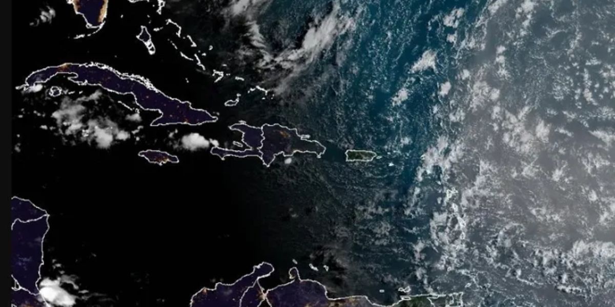
The most recent potential threat in the tropics turned out to be completely unfounded. According to the NHC’s most recent update, no tropical storm activity is forecast over the next week.
However, the disorganised band of showers and thunderstorms in the Atlantic that the National Hurricane Centre has been monitoring for the past several days may still deliver rain and thunderstorms to much of Florida on July 22, mixing with moisture from the Atlantic basin, forecasters say.
AccuWeather forecasters are keeping an eye on the low-pressure system as well as an area of the Gulf of Mexico where a slow-moving round of heavy rain and thunderstorms may form this week, and an area extending from Texas to the Carolina coast is expected to bring drenching thunderstorms from east to west across northern Florida, Louisiana, and Texas through the weekend.
“Several inches of rain are likely along the Interstate 10 corridor, with some locations potentially receiving over 6 inches in a short time,” according to an email from AccuWeather. “Flash flooding is possible in urban and low-lying areas, leading to dangerous road conditions and travel disruptions.”
The NHC is also following another tropical wave that has just departed Africa’s coast, bringing the total number of storms to watch in the Atlantic to three.
The next named storm of the 2025 Atlantic hurricane season will be Dexter.
Historically, the fourth named storm of the Atlantic hurricane season arrives on August 15. The final two named storms of the season, Barry and Chantal, formed earlier than usual.
Florida heat wave is lessening on paper, but it still feels hot.
Meanwhile, the stifling heat in Florida is easing as the heat dome that brought record temperatures to the South spreads across the Central Plains and Midwest, according to National Weather Service forecasters.
Heat advisories have been issued for North Florida, the Panhandle, and North Central Florida for July 22, with heat index values expected to reach 110-111, with a few spots in the Panhandle facing major heat risks, but the rest of the state is expected to see temperatures “just” in the high 80s and low 90s, with heat index values of 100-105.


