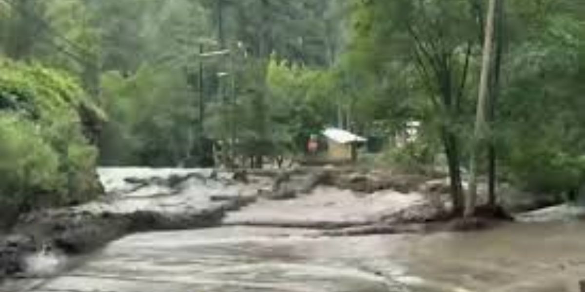
The National Weather Service predicts dangerous torrential downpours and flash flooding overnight Thursday as thunderstorms move through the Kansas City area.
In a video weather briefing on the National Weather Service’s YouTube channel, Jonathan Kurtz, a meteorologist in Kansas City, stated that there is an increasing risk of heavy rainfall and flooding across a large portion of the region.
Thunderstorms are expected to develop from late afternoon to early evening across eastern Kansas and western Missouri. The heaviest rainfall is expected to fall between 5 and 7 p.m. and last overnight.
The National Weather Service’s Weather Prediction Center raised the metro area’s risk of heavy rain from slight to moderate. The Weather Prediction Center categorizes heavy rain as marginal, slight, moderate, or high, indicating the likelihood of flash flooding.
The moderate-risk area stretches from Topeka through the Kansas City metro area to Macon in north-central Missouri.
“We’re expecting widespread amounts anywhere from 1 to 4 inches possible, and local higher amounts closer to 7 inches and likely in excess of 7 inches in some places,” according to Kurtz. “The latest model trends have us a little bit concerned about portions of the metro being under the bullseye for those heavier amounts.”
A flash flood watch is in effect until Friday morning for parts of Kansas and Missouri, including Johnson, Leavenworth, Miami, Wyandotte, Cass, Clay, Jackson, Platte, and Ray counties in the metro area.
“Those living in flood-prone areas should be prepared to take action should flooding develop,” the weather service stated in its flood watch.
People were encouraged to monitor the weather overnight. When alerted to a flash flood, people should seek higher ground right away.
The weather service also advised people not to enter flood waters in a vehicle or on foot.