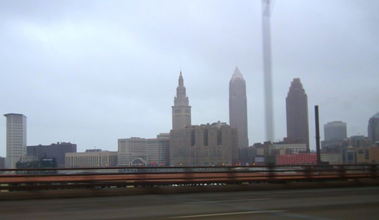
The Cleveland National Weather Service provides us with a forecast for the next several days as the city prepares for a variety of weather patterns. With a weak high-pressure system sweeping across the Ohio Valley, today’s forecast brings you cloudy skies. However, a low-pressure system is expected to move through from the Mississippi Valley to the Great Lakes by Monday, so the calm weather won’t stay long. “Scattered rain showers will start to move in from the west during the morning,” the NWS commentary states. Rain shower POPs are expected to move throughout the region on Monday afternoon.
The National Weather Service’s short-term forecast suggests a front bringing showers on Monday night, followed by hazy chances of rain and possible snowfall into Tuesday, so those of you planning to go out might want to keep your umbrellas close at hand. The National Weather Service reports that a “upper level low with this system is going to signal the beginning of a longer period of predominant upper level troughing over the Great Lakes.” Translation: as the weather turns colder, prepare to bundle up.
Those who are interested in Lake Erie should pay attention, as the marine forecast indicates difficult circumstances. Late Monday night, a cold front is expected to cut into Lake Erie, bringing with it westerly winds of 25 to 30 knots and waves as high as 6 to 9 feet in some places. There are already Small Craft Advisories in place to let mariners know that the seas will be choppy.
Clevelanders should prepare for what might be the coldest weather of the season as they look farther out. With temperatures just above freezing, the long-term outlook suggests a mix of rain and snow by midweek. For those who enjoy snowfall, the NWS predicts “a combination of upper-level troughs swinging through that will reinforce the cold air push into the southern Great Lakes and add a forcing mechanism for additional precipitation.” Pay close attention to the skies beginning Thursday night if you enjoy lake effect snow.
Cleveland residents appear to be literally in for a tornado of weather patterns. As this dance of elements from the high heavens to the rolling lake doesn’t stop, get your winter clothes ready and keep checking back for updates.
Note: Every piece of content is rigorously reviewed by our team of experienced writers and editors to ensure its accuracy. Our writers use credible sources and adhere to strict fact-checking protocols to verify all claims and data before publication. If an error is identified, we promptly correct it and strive for transparency in all updates, feel free to reach out to us via email. We appreciate your trust and support!


Leave a Reply