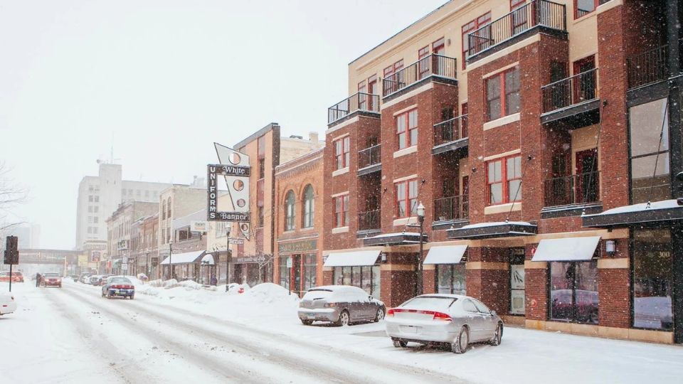
North America is a large continent located in the northern part of the Earth. Some cities in the United States are located near the Arctic Circle, while others are exposed to polar vortex shifts and arctic fronts. You can find cold cities in the Northern Great Plains, Upper Midwest, and Northeast regions of the contiguous United States. Alaska has some of the coldest cities in North America. Here are some of the coldest cities in the country that we can explore.
The Coldest Cities in America
Utqiagvik, Alaska
- Average temperature, 1991-2020: 13.6°F
- Coldest year on record: 1964, with an average temperature of 4.6°F
- Record lowest temperature: -56°F, February 3, 1924
Utqiagvik (Barrow), Alaska, is the northernmost city in the United States. It is located 320 miles inside the Arctic Circle. In this area of northern Alaska, the temperature drops below freezing for more than 240 days each year. This coastal city is surrounded by sea ice. Its main industries are whaling, fishing, and hunting. In 1964, the coldest year in Utqiagvik, the average temperature was only 4.6°F.
Nome, Alaska
- Average temperature, 1991-2020: 27.8°F
- Coldest year on record: 1920, with an average temperature of 21.2°F
- Record lowest temperature: -54°F, January 27-28, 1989
Even though Nome is located on the coast, the cold northern location is not balanced out by the ocean waters. Nome is located at a latitude that is slightly higher than Fairbanks. It is also very close to Russia. Russia is just across the Bering Strait, so Siberian air can easily reach this town by the ocean.
Grand Forks, North Dakota
- Average temperature, 1991-2020: 39.8°F
- Coldest year on record: 1950, with an average temperature of 32.9°F
- Record lowest temperature: -43°F, January 11, 1912
Grand Forks is in North Dakota and has a similar climate to Fargo. This means it also experiences arctic air masses that come down from Canada along the backside of the Rocky Mountains. Grand Forks is colder than Fargo because it is located further north. It is also more vulnerable to the flat land of the Northern Great Plains.
Also Read: These 8 Weirdest Laws in Arizona State Can Shock You Everytime
Duluth, Minnesota
- Average temperature, 1991-2020: 40.2°F
- Coldest year on record: 1950, with an average temperature of 33.2°F
- Record lowest temperature: -39°F, February 2, 1996
Duluth, Minnesota, is in the Upper Midwest and is situated at the western end of Lake Superior. At this latitude, cities experience lower temperatures due to shorter days and the sun’s rays hitting at different angles. The city is located on Lake Superior, which is the coldest of the Great Lakes. This location has a cooling effect in the summer and creates lake-effect snow in the winter.
Caribou, Maine
- Average temperature, 1991-2020: 40.7°F
- Coldest year on record: 1943, with an average temperature of 36.8°F
- Record lowest temperature: -41°F, February 1, 1955
Caribou, Maine is located at one of the most northern points of the contiguous U.S. As a result, it experiences a reduction in daylight that is common in northern cities. The region is also affected by cold air from Canada, which can get trapped in the low-lying areas due to the rolling hills.
Fargo, North Dakota
- Average temperature, 1991-2020: 42.4°F
- Coldest year on record: 1950, with an average temperature of 35.6°F
- Record lowest temperature: -39°F, February 1, 1996
Fargo, North Dakota, is located on the eastern edge of the Northern Great Plains. The flatness of the plains around here means that there isn’t much to stop the wind. Because of its location in the north and its position in the middle of the continent, this place is easily affected by cold air from Canada that moves down along the eastern side of the Rocky Mountains.
Alamosa, Colorado
- Average temperature, 1991-2020: 42.6°F
- Coldest year on record: 1979, with an average temperature of 37.9°F
- Record lowest temperature: -50°F, January 28, 1948
Alamosa, like many cities in Colorado, is located at a high elevation of over 7,543 feet above sea level. This helps to make the temperatures cooler. The area is semi-arid, meaning it has dry air. This dry air can feel cooler than air that is humid. In Colorado, the night skies can be clear, which means that warmer air can escape. Finally, the location is in a valley, which means that cold air can become trapped below warm air masses.


Leave a Reply